November 24
Location:
Starting at Terraces campground in Millcreek ascending the Bowman trail. Skis were put on at about 8000 feet where the trail wraps around the Yellow Jacket exit.
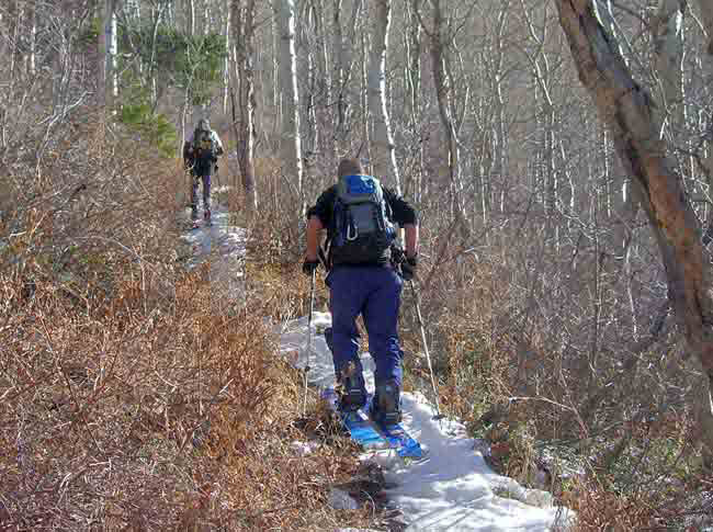
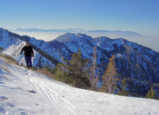
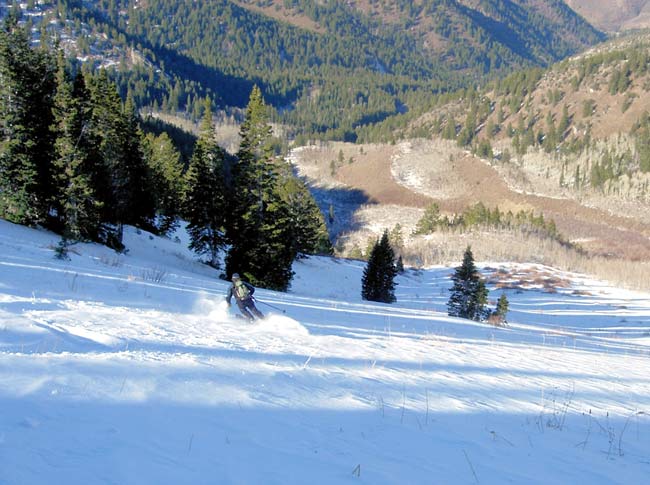
The summer trail was followed to near the saddle between Gobblers and Raymond, where a few kick turns were made to gain the ridge. The descent was to the top of the thicker bushes and aspen. The second ascent was made by zigzagging up the face regaining the earlier trail to the ridge. We continued to the top and along the ridge to the top of the Cabin run with a descent down and along the shady shoulder separating Baker Springs from Pole Canyon almost regaining the summer trail before removal of skis to walk back out
Snow:
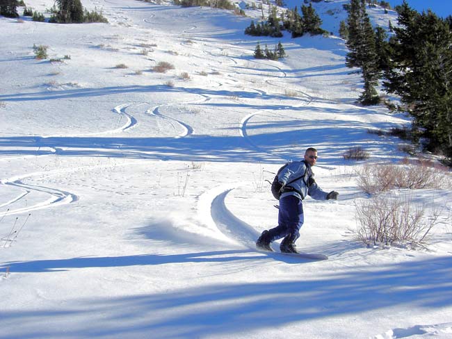
Snowline was about 8000' where there was 4-6 inches. That amount increased to a foot, slightly more in places. The upper elevation shady snow consisted of a variable wind crust composed almost entirely of graupel over several more inches of graupel over a few inches of dense damp snow. Some cover on east facing off aspects in Butler Basin and Mill A (Raymond). The upper snow has faceted for the somewhat rare, widespread graupel facet phenomena. The upper northwest faces saw strong winds and are mostly scoured with some scattered shallow wind drifts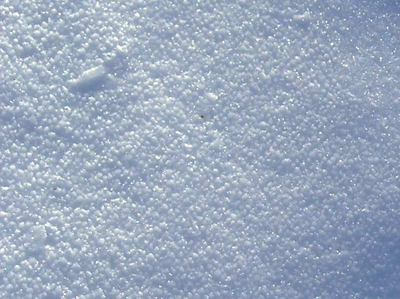
The descent was to the top of the thicker bushes and aspen. The second ascent was made by zigzagging up the face regaining the earlier trail to the ridge.
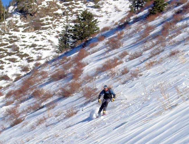
We continued to the top and along the ridge to the top of the Cabin run with a descent down and along the shady shoulder separating Baker Springs from Pole Canyon almost regaining the summer trail before removal of skis to walk back out.
Weather:
It was warm and sunny with only a slight breeze. Temperature increased with ascent.
Bottom Line:
Snow is stable. Even with the forecast storm and heavy snowfall, hazard should remain somewhat limited to new snow and or pockets of collapse failure at the new old interface. Because of the shallow snow cover and good brush and rock, stump exposure, avalanche will likely occur with the next storm after this one.