April 18
Box Elder
Elevation, slope angles and aspects
5600-11200', angles over 35°, north and west facing aspects
Snow conditions
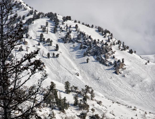
Cool overnight temperatures stiffened, but did not crust surface snow, leaving it damp and sticky to 10k. Above that elevation, dry snow was found on the northwest face in the early afternoon.
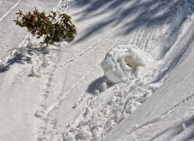
The previous day's warming had produced rollers on south

and west
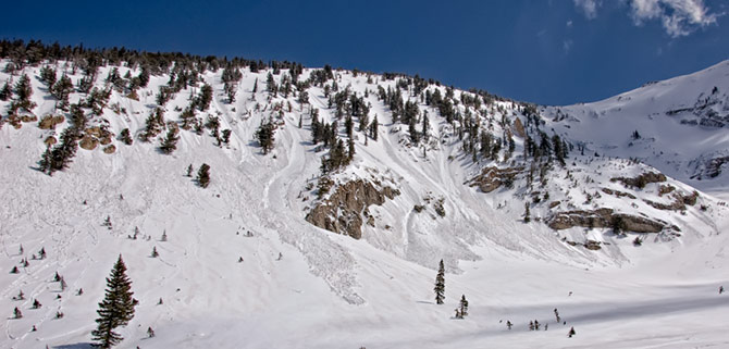
facing aspects. There had also been a natural slide cycle
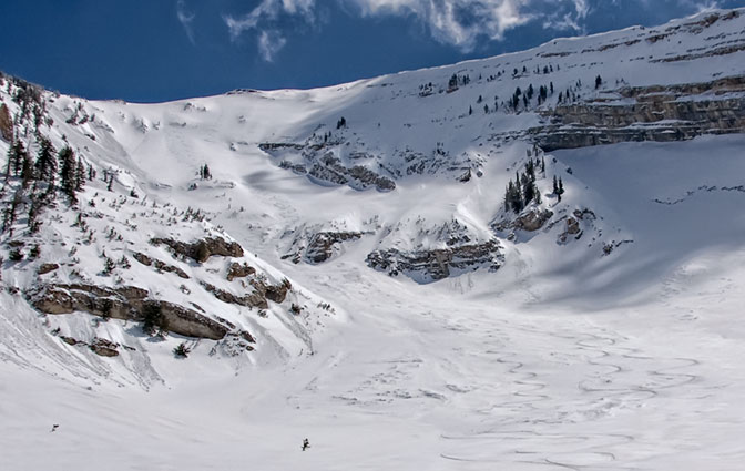
with crowns and debris piles observed on both northwest and northeast facing aspects.
Settlement from the last several days of slow warming, indicated by runneling
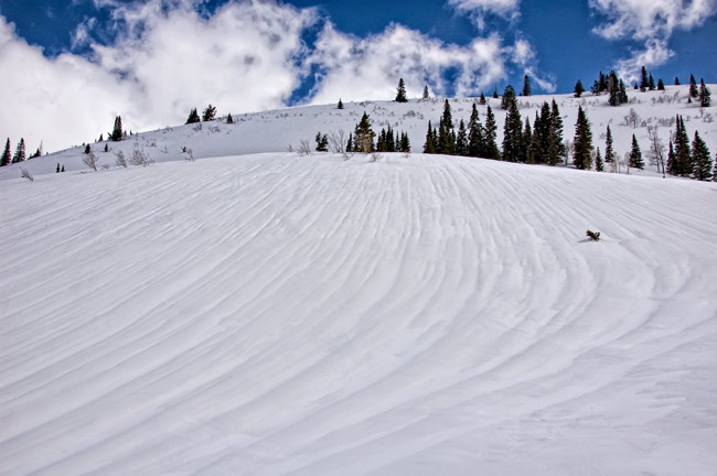
at mid elevations, provided good support, even after the snow had turned to mank.
Ski cutting test slopes at 8k, on the afternoon exit, produced
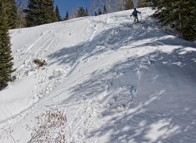
localized shallow wet slabs.
Weather
Early morning cloud cover decreased as the morning progressed, leaving partly cloudy skies into the afternoon. Winds were from the wnw, gusting over 20 mph, but decreasing in the afternoon.Warm temperatures.
Evaluation
Spring snow conditions. Instabilities were directly related to day time heating. Future instability would be the same. Following the sun around the compass as heating occurs, lessens exposure, with upper elevation northwest facing aspects, softening in the early afternoon.
Weather guessers have the first spring warm up on tap for the next few days. Looks like a lack of refreeze is suggested by mid week.
© wowasatch.com