March 8
Willow heights-Monitors-Wills Hill.
Apologies for a Monitors return. Pattern weaves as it will and the Cottonwoods were a cluster.
Elevations, slope angles and aspects
7800-10200', angles over 35°, all aspects
Snow conditions
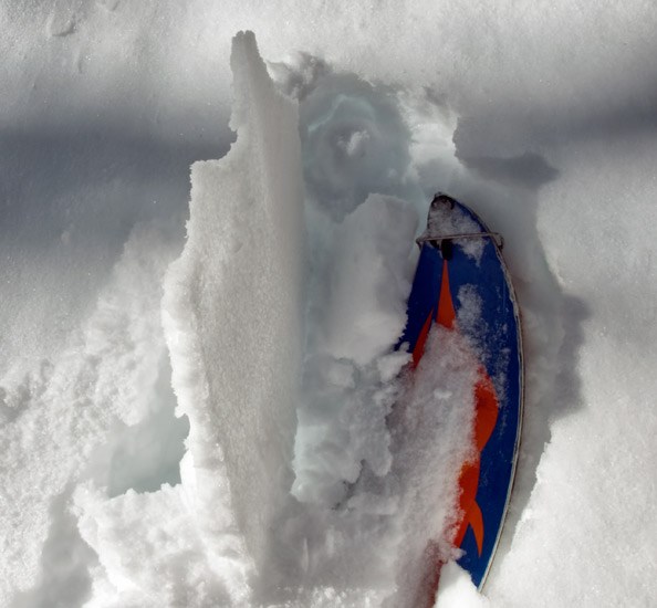
12-18" new snow, settled.
Early sun quickly heated the snow surface. Wind from the west cooled that heated surface adding a crust, zipper to quite stout, by afternoon.

Crust was the worst on upper elevation east facing, off aspects and south facing. North and northwest facing aspects suffered the least.
Daytime heating also initiated a widespread wet point release cycle, mid to lower elevation sunny, suffering the most.
Weather
Clear and sunny, scattered clouds, in the am, high clouds increasing by afternoon. Winds from the west, increasing by mid day, gusting to 20 mph along upper elevation ridges. Mild temperatures.
Avalanche activity
Observed slide activity was limited to wet activity from warming but, shallow soft slabs and widespread sluffing occurred late in the storm.
Wind effect on Sunset peak
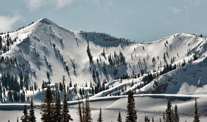
Widespread sluffing on east facing Kessler
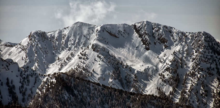
Upper, main and banana-Days fork

Mill A-Raymond
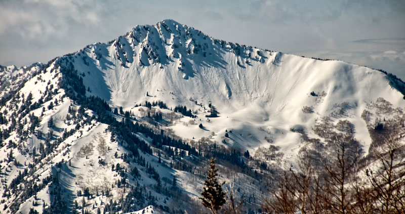
Butler Basin

Looks like significant slides in upper Alexander and Wilson chutes. Wet activity from warming on the south facing ridge.
Evaluation
Warming quickly eliminated instabilities within the new snow.
Wind from the west added a new layer of drifting which may be active at upper elevations.
Weather guess of cool temperatures and cloudy skies would limit wet activity.
© wowasatch.com