January 24
Mill D north, Reynolds east and west, Butler basin
Elevations, slope angles and aspects
7300-10k, angles over 35°, all aspects.
Snow conditions
There was 2-4" of new snow over a dense settled base.
Good settlement from the large storm with easy trail breaking, no cracking or collapsing.
Sun exposed south facing was sticky in the afternoon. The most exposed will have crusted.
Weather
Sunny to partly cloudy skies, light wind and moderate temperatures.
Avalanche activity
The recent heavy snowfall after none, produced a widespread slide cycle.
Had a good view from the top of Reynold peak and from Wilson.

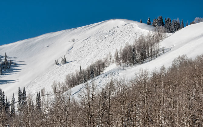
Wind drifting on Reynolds pulled out the main face with two additional sympathetic slides on the adjacent slope.
The top and looker's left had scouring rather than drifting with only new snow covering the ground off the summit.
There may have been an earlier cycle during the storm but shallow crown and debris were buried.
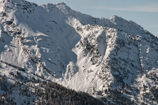
Large slide on Bonkers with some sections going to the ground.
Crown is off the ridge, northeast facing.
Cardiff Fork

From the looker's left: pocket on LSB, northeast facing Cardiac bowl coming from near the pass, small pocket south end of Cardiac ridge with additional sluff slides in the main area,
good sized crown in the upper Mill B South back bowl, north edge of High Ivory just before Georges, and a big one in the Catcher's Mitt on Kessler.
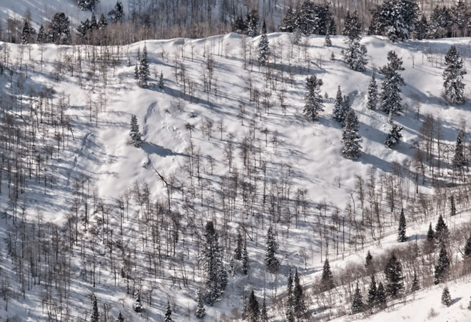
There were any number of little pockets scattered around(mid elevations)on both east and west facing aspects, slightly steeper or slightly different layering.
Photo is of the Butler trees area with 4 pockets visible.
I could see those minis in Beartrap, Short swing(mill D north) west facing Reynolds, Raymond,
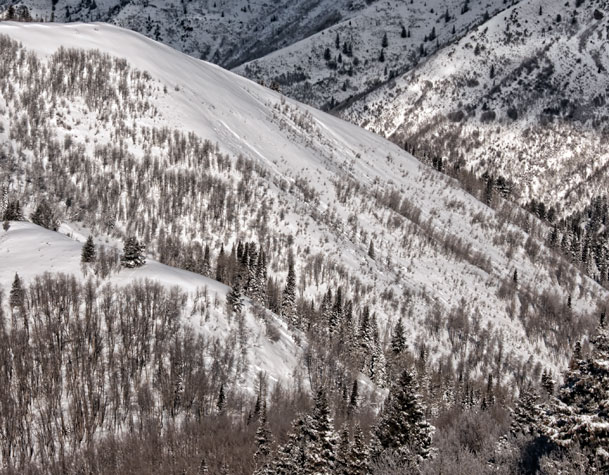
east facing Big Water and on the exit outta Butler Fork.
Some were new snow only while others went into older layering.
In addition, slide pattern left many slopes intact.
For example: Wilson glade had avalanched while most of the ridge and the chutes either went early or did not slide.
Evaluation
Stout bridging over old faceted snow suggests increased difficulty of stability evaluation.
Most of the viewed activity did not clean out the nasties.
Larger trigger or hitting the "sweet spot" may produce avalanche in areas that haven't.
Weather guessers have help on the way with another storm in the forecast.
Hopefully, it has the water weight to either clean things up a bit or provide the bridging needed to allow safe skiing.
followed by
Explosive triggered slide cycle
© wowasatch.com